Site 2: Sentieri delle Meraviglie (Paths of Wonders)
Site 2a
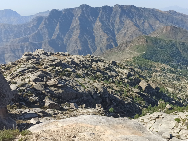
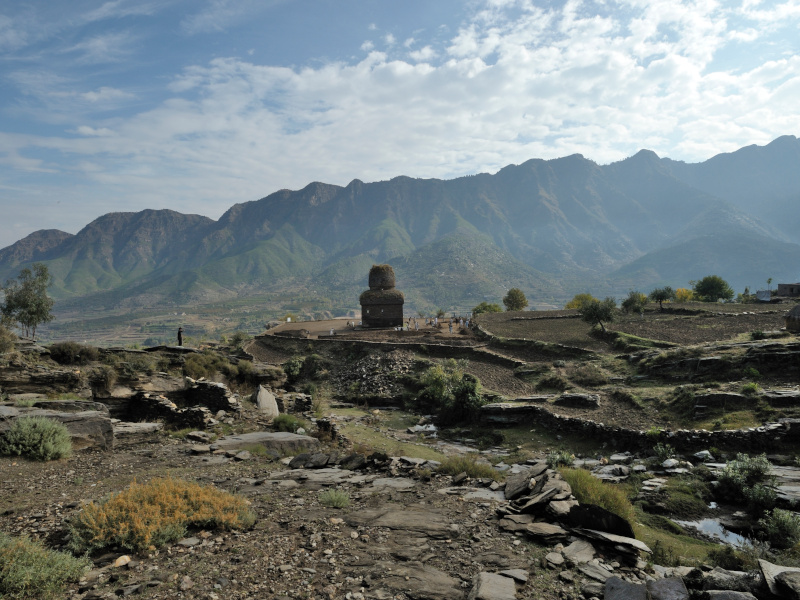
The site is located in the middle of the left side of the Kandak valley, 5 km by road from Site 1 (34°37'51“N, 72°10'46”E), at an altitude of approximately 986.00 meters above sea level. The archaeological terraces rise about 130.00 m above the village of Balo Kalai (or Balo Kale), along an ancient path leading southwest toward the Kakai-kandao pass. After the pass, the path enters the Kotah valley at Talang and Sandoka, where other important Buddhist sites have been discovered in the recent past.
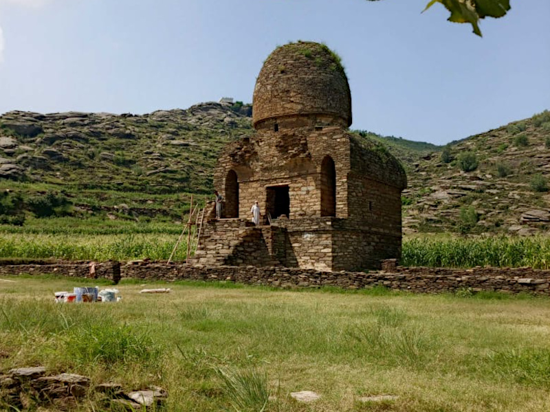
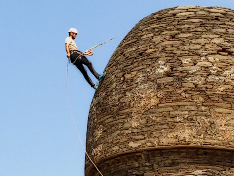
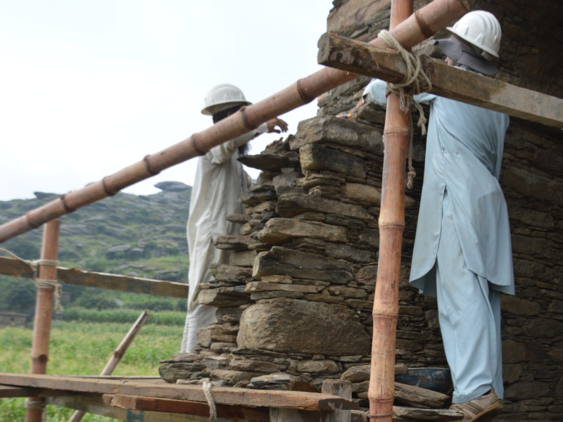
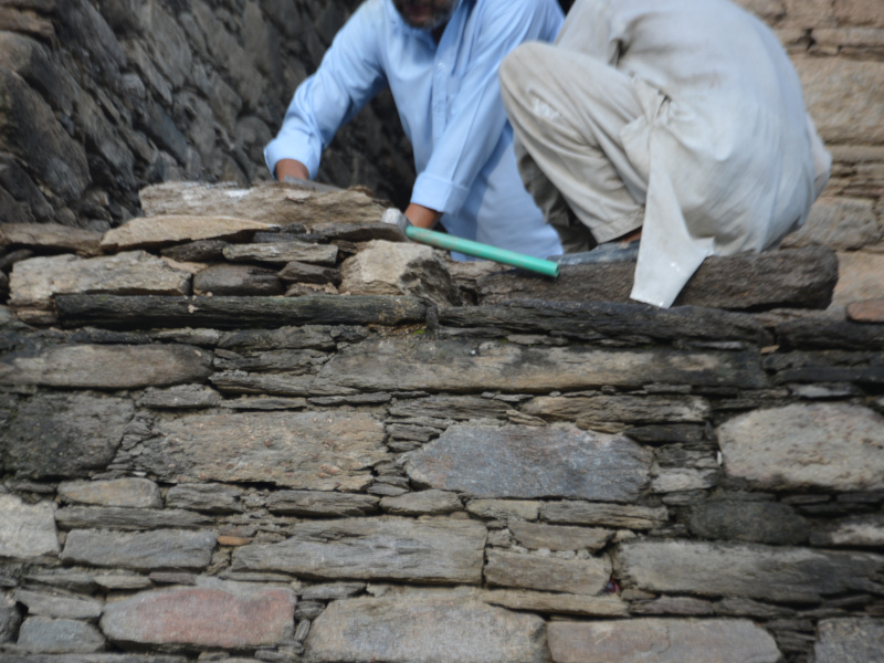
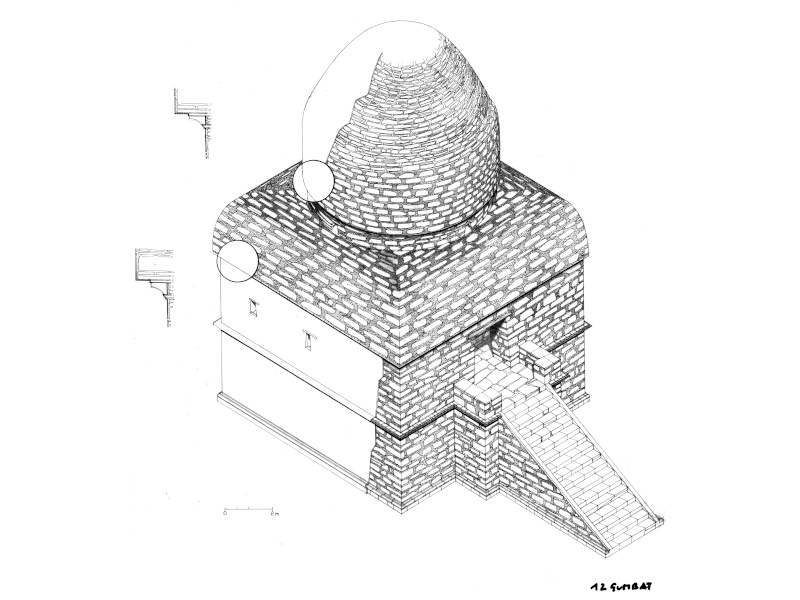
The site is also known as “Gumbat 1” and is marked as Site 139 in the Archaeological Mapping of the Swat Valley (AMSV) Project database. The still-standing monument, a Buddhist sanctuary (the Great Sanctuary, also called "Great Vihara"), which originally housed a relic, a cult statue, or a votive stupa, features a partially preserved double dome rising on a monumental platform set against a stunning mountain backdrop. At risk of sudden collapse, the sanctuary was urgently restored in 2011, first by the Pakistani Army under the aegis of the ACT project, and subsequently by the ACT project itself (whose intervention focused on restoring the staircase) (Spring and Autumn 2011). In November of the same year, we completed a preliminary excavation around the standing monument (GBK 1), the results of which will be presented in the following pages. The excavated area underwent extraordinary maintenance work in the Spring and Autumn of 2012.
Based on data from recent fieldwork, the site's sequence is divided into six main structural periods (excluding the protohistoric phases, c. 1200-900 BCE). The chronology of Phase 1 is suggested by the C14 dating of the wooden architrave of the upper window of the S clerestory (Architrave 4 = 1840 +/-30 BP = 110 CE), and a second reconstruction phase (including the construction of the upper dome?) in Phase 2 = Period V (?), as inferred from Carbon-14 dating of 1760/1790/1800 BP = mid-3rd century CE of three wooden planks used as support beneath the SE corner of the inner dome (= Beams 1-3). Period III could correspond to Macro-phase 4a of the Barikot sequence (see site 1).
Period IV: Corresponds to the second stone floor, the one visible across the entire excavated surface. During this period, most of the minor cult monuments that crowded the space around the three main buildings were constructed, including a small apsidal monument (a chapel?), the plan of which is revealed by the negative outline of the paving slabs.
Period V: In this phase, the dome of the main monument may have been doubled or repaired. Period V should correspond to Macro-phase 5b of the Barikot sequence (see site 1).
Period VI: Late occupation (14th century CE).
Foto gallery
Site 2b
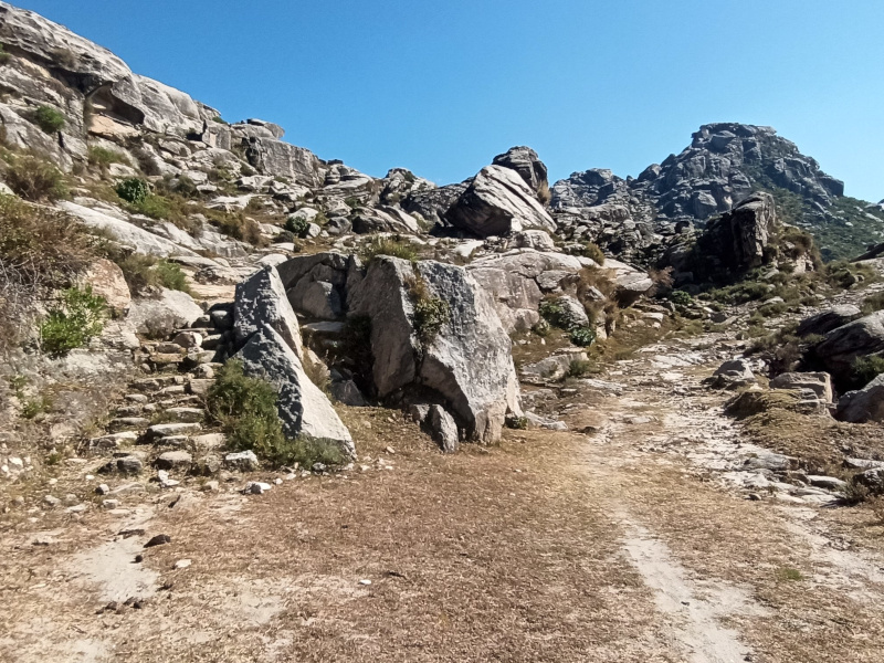
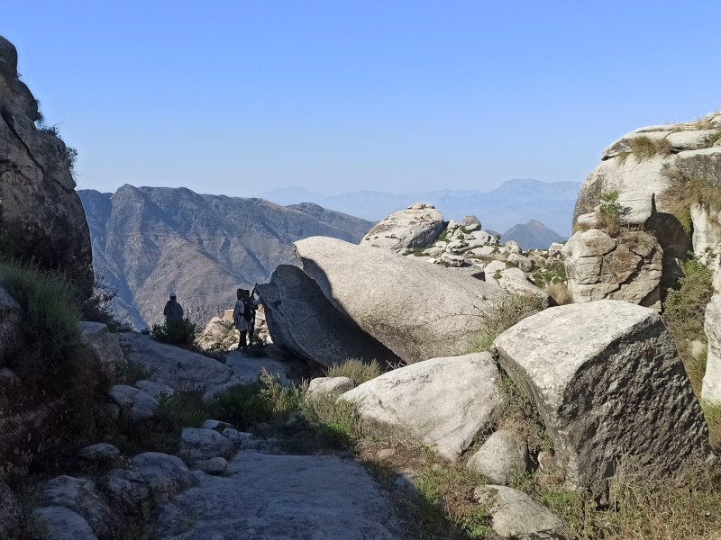
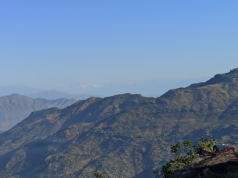
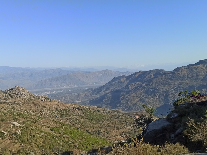
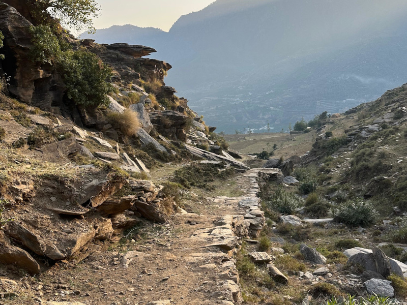
This is a trail of approximately 25 km that crosses four valleys while maintaining an average altitude of around 1,500.00 meters above sea level. The trail intercepts a series of archaeological areas, which include ruins of Buddhist sanctuaries, painted rock shelters, and rock art sites. The route retraces an ancient path and connects the Kandak valley (site 2a) with the Zalamkot/Hati-dara area (site 3) where it then joins the ancient road known as Hati-lar (site 4).
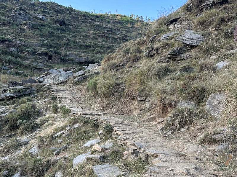
The trail extends for about 3 km and the incline is generally gentle, although there are some sections characterized by a steeper slope. The average width of the trail is about 2 meters, though significant narrowing occurs in some sections. The average travel time from the Gumbat sanctuary to the Kakai-Kandao pass is approximately 1 hour.
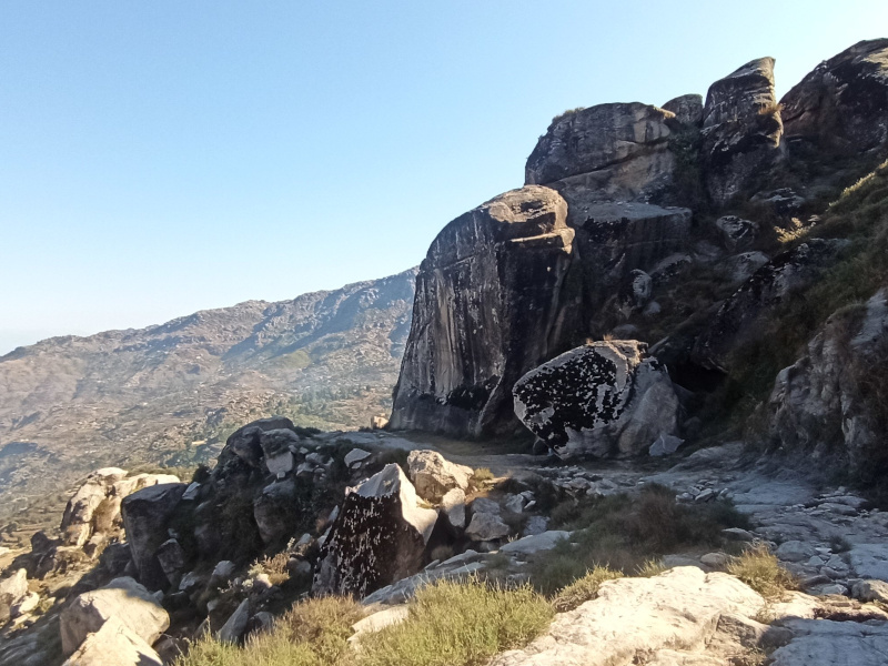
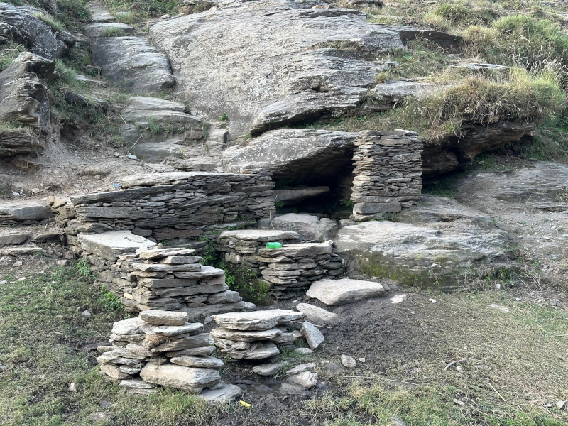
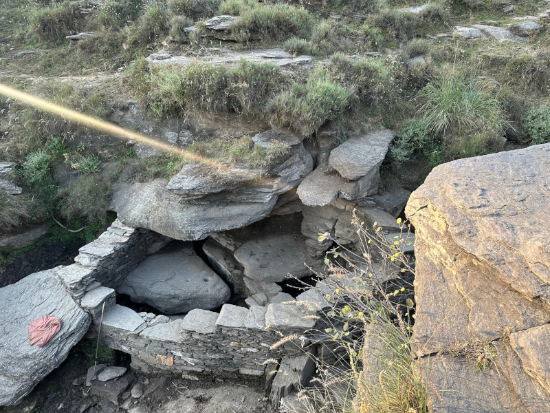
The path surface is generally compact, with localized debris deposits that do not compromise walkability. Recently completed works have helped smooth the walking surface, significantly improving the continuity of the trail. In the steepest sections, steps have been built and switchbacks introduced to reduce the natural incline and facilitate visitor transit. Even at points where there were previously small walls to climb over, special passages have been created to allow for an easy and safe crossing. As for the water sources located along the route, these have been targeted with specific cleaning and arrangement interventions. Access has been made easier by removing invasive vegetation and smoothing the surrounding ground. Supply and watering points have also been improved, ensuring a safer and more orderly use by visitors.
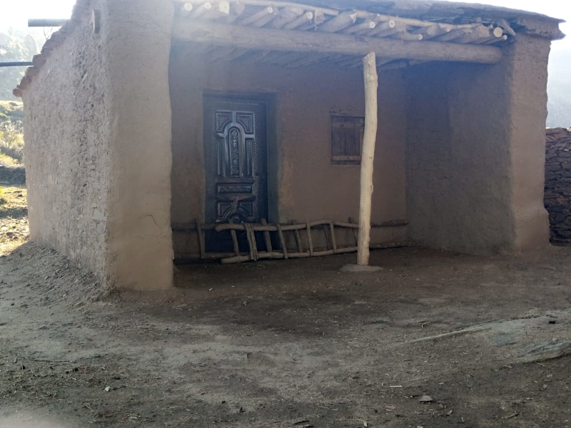
To date, approximately 5 km of the entire route is accessible, including the possibility of staying overnight in a mountain pasture hut renovated by the project, which will be equipped with a solar power system during the Spring of 2026.
Foto gallery