REFIND
Remote strategies for fossil finding
Overview
The project investigates strategies to discover new fossil remains, in ways not affected by taphonomical processes nor taxonomical classifications.
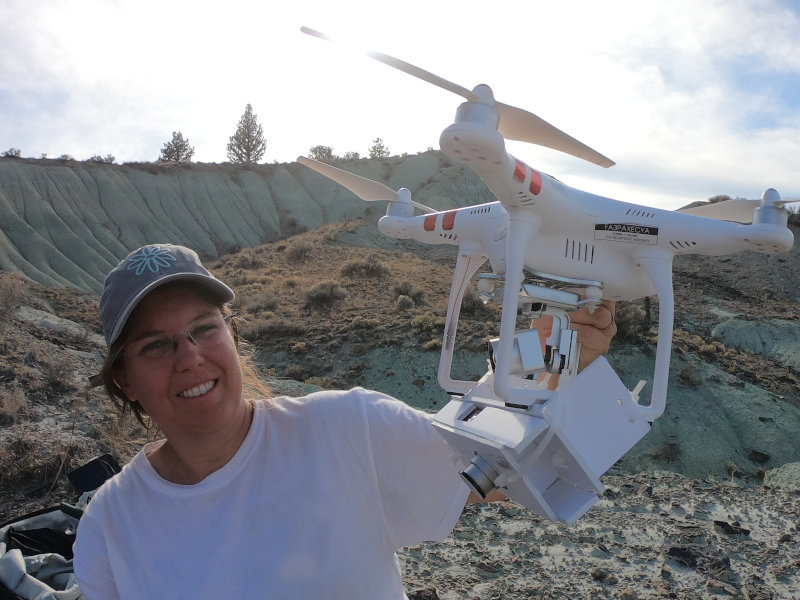
- applied to surveys aiming of catching fossils exposed on desert surface, the method uses high resolution multispectral imageries recorded from satellites and drones. Instead of searching for potential outcrops, the developed method targets single fossil specimens, improving efficiency and effectiveness of field surveys.
- Where arboreal coverture prevents the use of imageries, estimated geographic distribution of extinct species is preferred to narrow regions with high potential for the presence of fossil sites.
The outcomes are significant to recover new fossil specimens, making them available for the scientific community and preventing their complete destruction because of erosion and human or other natural activities. Moreover, the method limits risks and costs related to field works. Finally, it is suitable for monitoring the location of known fossils over time.
Objectives
The REFIND project aims to become a standard implementation in the early stages of planning surveys in remote regions.
The method is tested at two US National Parks, in recognized fossil Lagerstätte, and at UNESCO World Heritage localities.
Estimation of potential localities is tested over Europe and North America. Five coupled fossil species are chosen to highlight possible gaps among the paleontological record. Their distribution is critically considered as a response of climate change and modern human spread in the last 50.000 years.
Activities
Field works
The following localities have been chosen to test the surface classification method developed for mapping the position of fossils in desert regions.
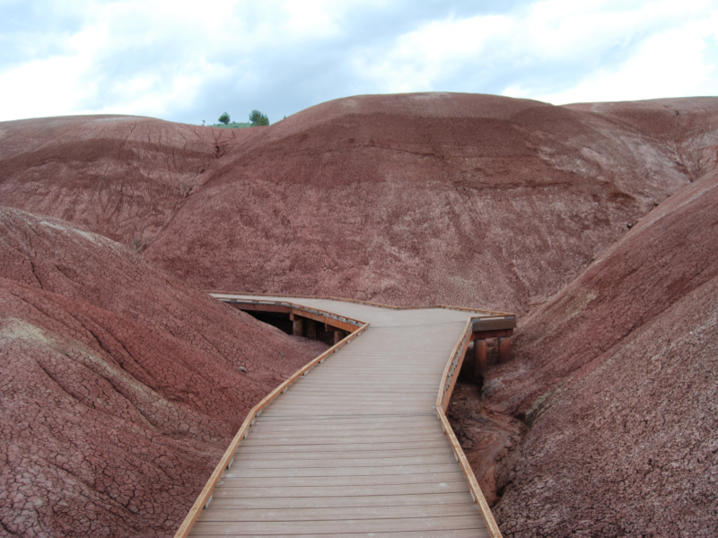
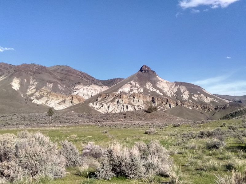
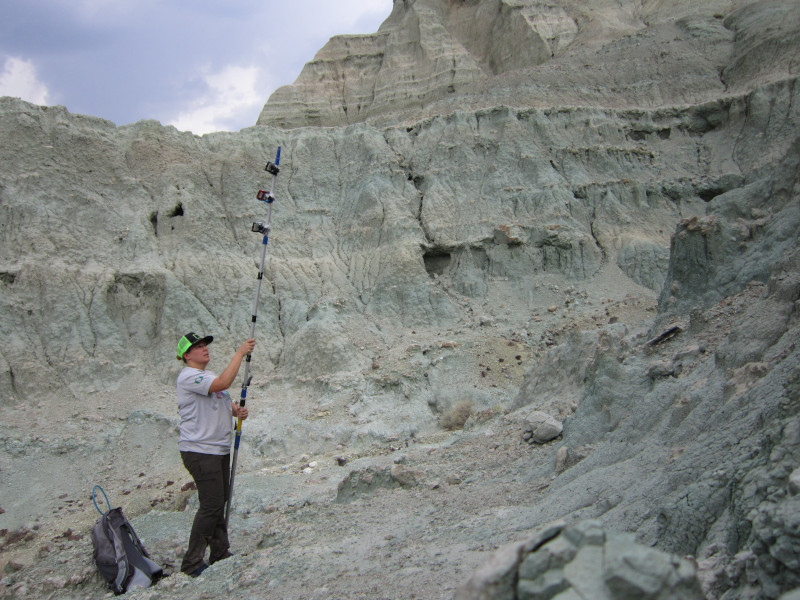
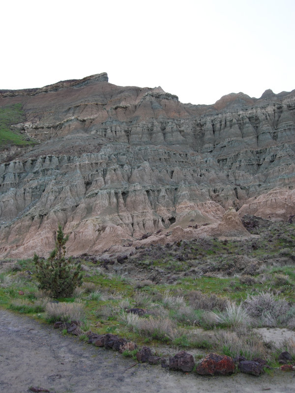
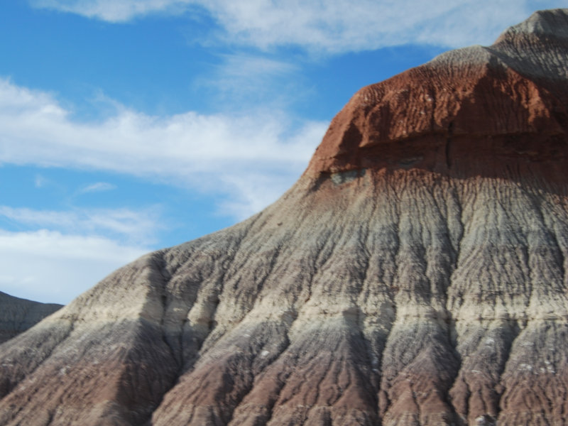
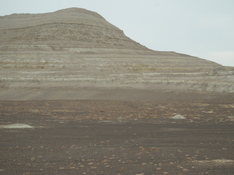
The John Day Fossil Beds, Oregon
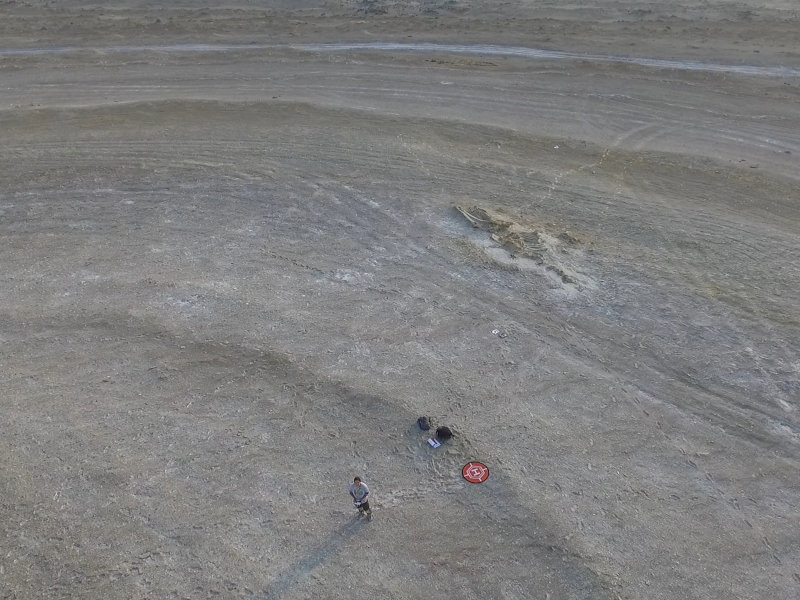
This locality preserves a unique fossil record, spanning from the Eocene to the Miocene, approximately from 44 to 7 million years ago. It preserves fossils of large and small mammals. The size of their bones prevented the use of satellite imageries, so a direct survey was needed to infer the position of fossils. Two localities have been surveyed: photo of slopes had been recorded at the National Monument, walking on paths reserved for tourists and using an extendible pole and a RGB + NIR camera. The area of Logan Butte has been surveyed with a drone (UAV Phantom) and a NIR camera added as payload.
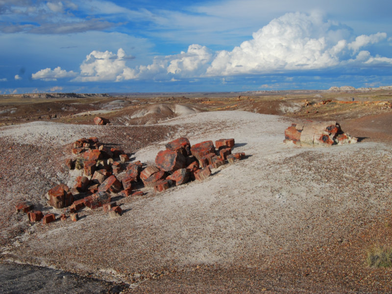
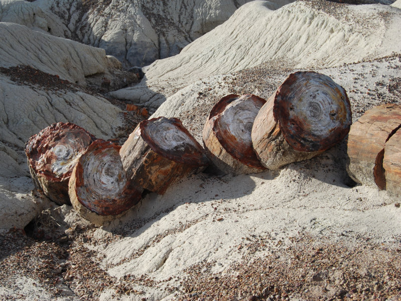
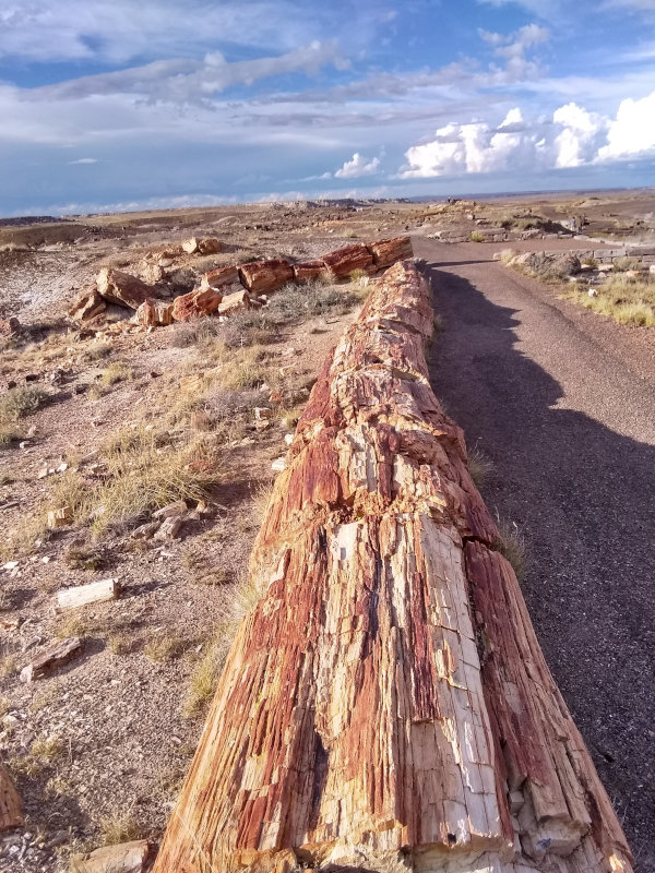
The Petrified Forest, Arizona
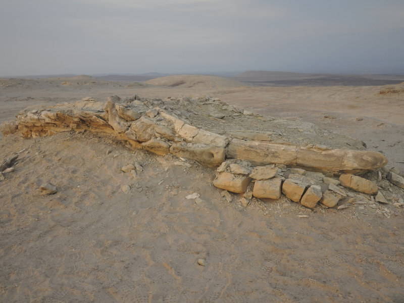
The Triassic deposit (around 250 million of years ago) of the Petrified Forest returned fine preserved fossil logs and remains of the first dinosaurs living on land.
Cluster analyses have been used on World View 2 satellite imageries to infer the position of fossil logs at this national park.
The attention has been focused on the Crystal Forest, with the intent of mapping the position of exposed fossils and infer the position of logs not visible from the road.
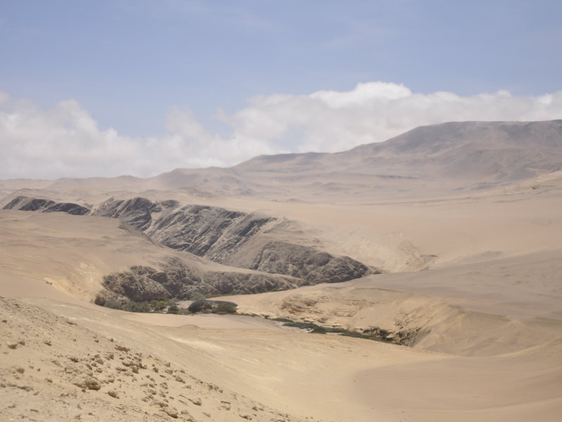
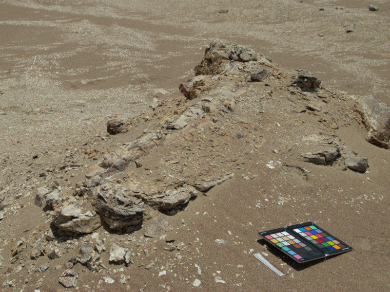
The Pisco Basin, Peru
This fossil Lagerstätte is the only locality preserving entire skeletons of thousands of cetaceans, including the largest known extinct odontocetes and the first evolved baleen whales, marine birds, and pinnipeds. The largest skeletons lay on surface and are intensively studied by Italian and US researchers. In collaboration with the University of Pisa, the region of Cerro Colorado and Cerro Los Quesos had been surveyed though both imageries of the World View 3 satellite and in person using a drone. The peculiar taphonomy and mineral impregnation of the fossil bones make this locality challenging for the purposes of the REFIND project.
Wadi el Hitan, Egypt
Like the Pisco Basin, this locality is characterized by skeletons of marine large mammals, and it shows comparable issues. Since it preserves the extinct group of the Archaeocetes, it has been listed as a UNESCO World Heritage in 2005. It is tested using satellite imageries and it represents a typical example where the REFIND method can monitor the position of endangered fossils over time.
Gadoufaua, Niger
This locality returned middle to late Mesozoic large dinosaurs and crocodiles. The two most famous specimens of those groups are today exposed at the Natural History Museum in Venice. It is a UNESCO site since 2006. Activities related to this locality are planned in 2022.
Analyses of range distributions
The distribution range of extinct species vary according to the algorithm used to infer their presence.
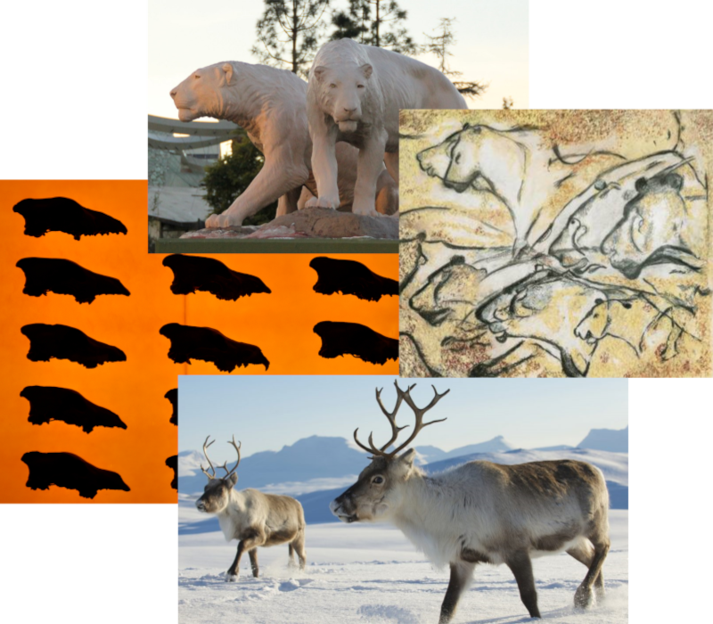
Five coupled species with similar ecology have been chosen to compare the outcomes in Europe and North America, where climatic changes acted partially with different patterns and humans impacted the environment in successive times.
- European lion vs. American lion:
- European wolf vs. dire wolf:
- European leopard vs. couguar
- Cave bear vs. brown bear
- Reindeer vs. caribou
Time bins
To assess the importance of absolute aging of the fossil record in relation to time bins and distribution of species through time, some activities have been implemented in the main actions of the REFIND project.
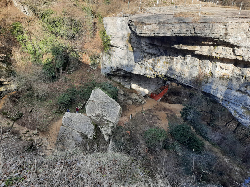
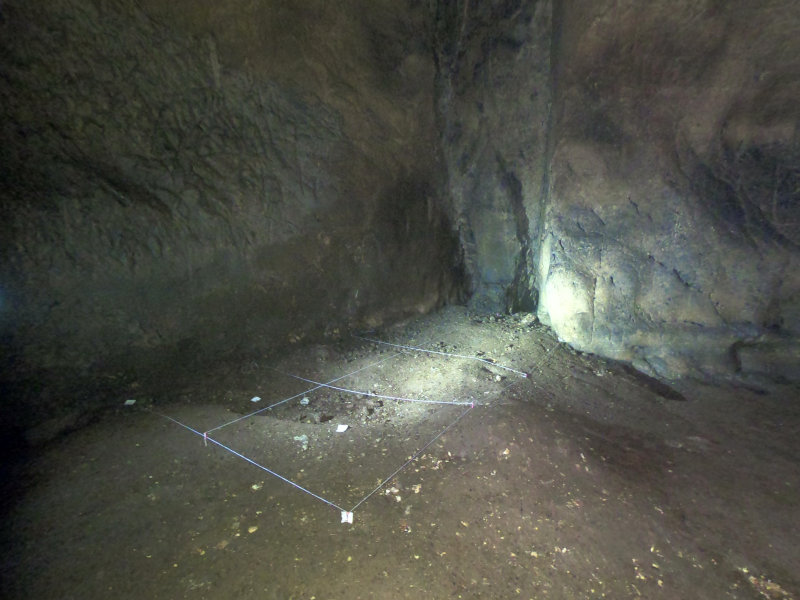
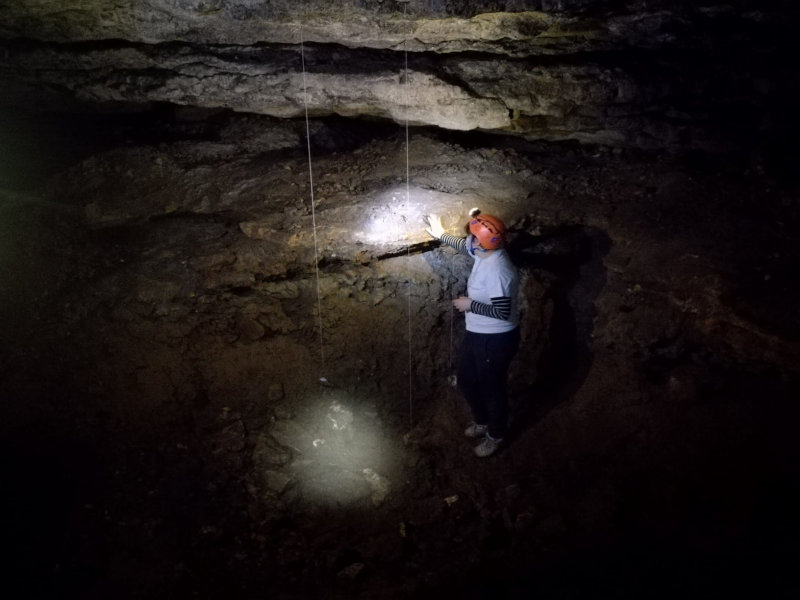
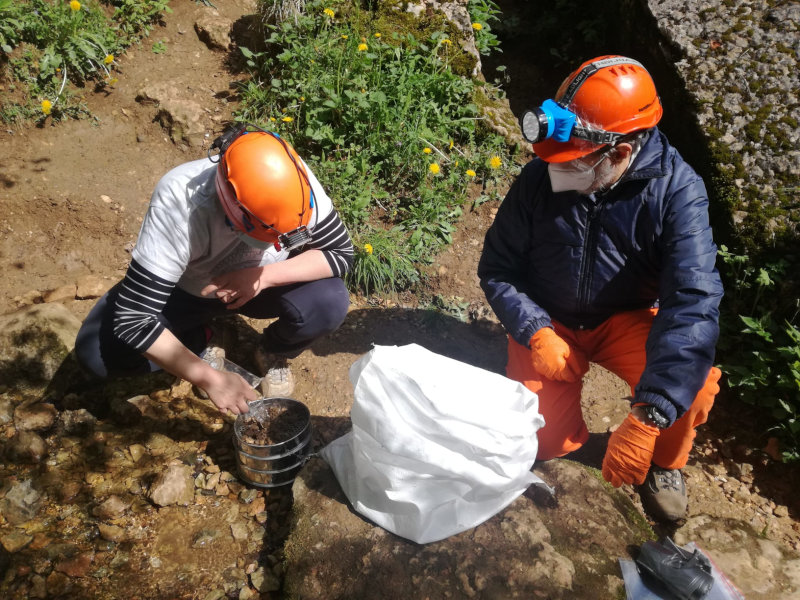
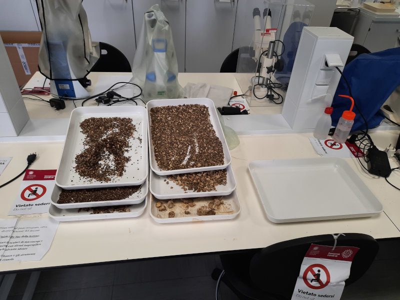
Paleontological excavation at the Grotta A of Veja (Verona)
This locality is known for the natural bridge standing over the cave and for the paleolithic artefacts discovered at the entrance more than 50 years ago. The cave will be investigated in detail in the inner part of the main corridor, where preliminary surveys recorded several fossil bones of the extinct cave bear.
Sponsorships
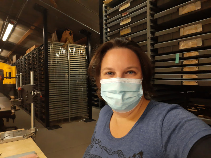
Revision of American lions at the Rancho la Brea Tar Pits Museum
Hundreds of thousands of skeletal remains have been recovered from the La Brea Tar Pits so far. More than two thousand have been determined as Panthera atrox. This species is still enigmatic regarding some aspect of its behavior, diet, and social structure.

Media
- From the Past to satellite: how to find fossils from the space
- Cycle of seminars - 2022 edition: web repositories for paleontological data is at the same time challenging and a basic resource. Prof. Edward Davis and Samantha Hopkins of the University of Oregon, and PhD Nicholas Famoso of the John Day National Monument explored the potentials with detailed insights and examples using the fossil record:
- Differences and similarities in collecting modern and paleontological data - Edward Davis
- The effect of ecosystem change on small mammal community ecology - Samantha Hopkins
- Using paleontological ecosystems to deeply understand the processes influencing extant species - Edward Davis
- In the shadow of volcanoes: western volcanoes and ecosystems through time - Nicholas Famoso
Team

Principal investigator


Supervisor at Ca’ Foscari