FUZZFARM
Modelling of the early agricultural spread in south of the Eastern Europe
About
FUZZFARM explores the early agricultural spread, the process that brought agriculture and the settled way of life to large portions of Europe in VII-V mill. BC.
It is focused on the archaeological record of south of Eastern Europe and it will employ innovative way of agent based modeling based on the fuzzy sets approach in order to understand the spatial patterns of early farmers behavior.
Project
The project aims at the reconstruction of the prehistoric land exploitation. Early farmers faced various ecological, economic and social constraints in order to select a certain micro-region for colonization.
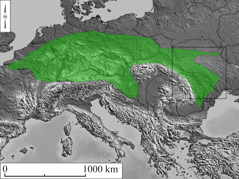
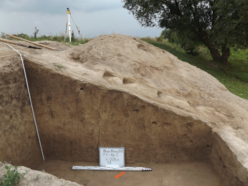
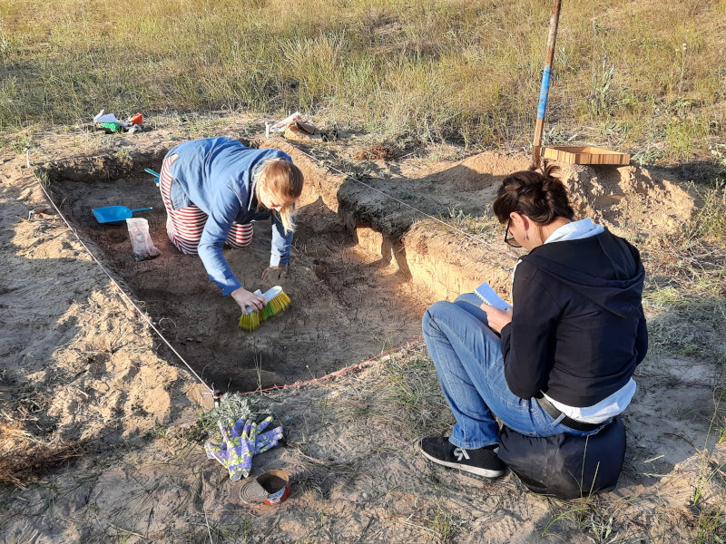
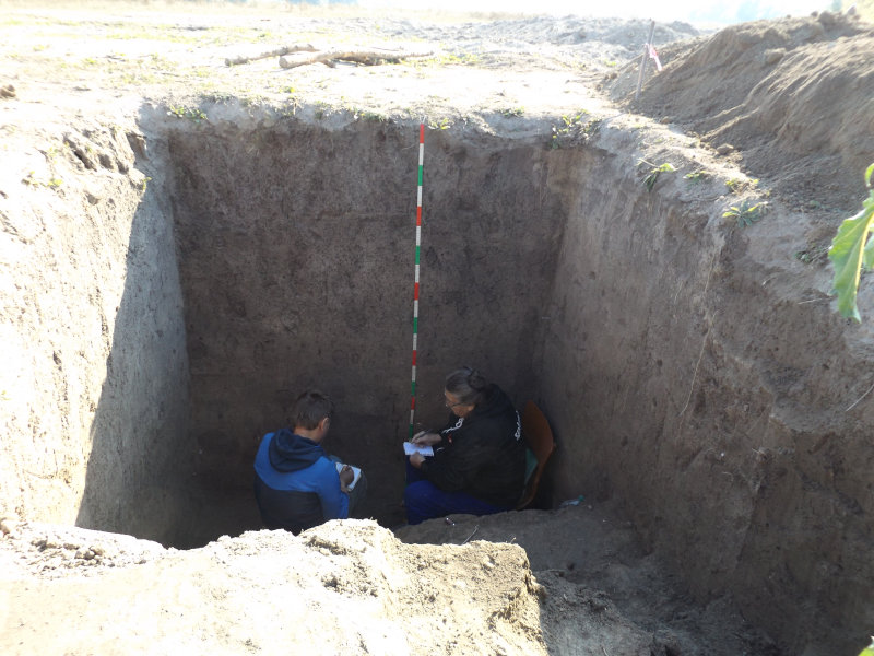
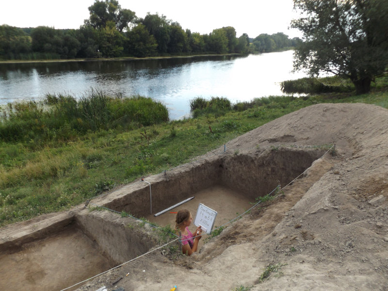
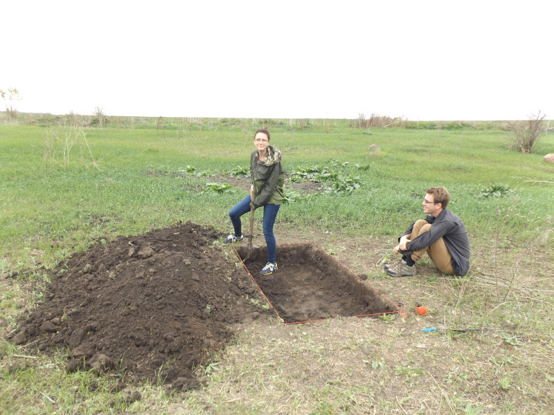
These conditions will be studied in the course of the project by means of database approach for the whole south of Eastern Europe (roughly modern south-eastern Poland, Ukraine, Moldova, and eastern Romania); taking additional samples for research on paleo-soils in the three focus microregions which evidenced several waves of early agricultural colonization. The criteria will be formulated for a site selection by Neolithic farmers.
They will be incorporated into agent-based model "Fuzzy Farmers" using a fuzzy sets approach to combine the criteria of various character in a single model (for example, type of soil needed and a need of a similar site in geographical proximity for exchange of marital partners).
Agents will be represented by communities of early agriculturalists. The model will simulate the process of early agricultural expansion in actual geographic space (modelled in GIS). I plan to seek the conditions of ceasing the expansion pace and in such a way try to explain the frontiers of early farmers' spread known from archeological record of the south Eastern Europe.
Neolithic farming societies of Eastern Europe
Early farming groups rapidly moved across different landscapes. The way they moved across and settled in many territories of Europe has been largely debated especially during the last 30 years.
However, the reasons why its spread stopped at a certain point is difficult to understand. Several theories were put forward to explain limits of the first agricultural spread. The available data support the first arrival of early farmers in the region around 5800-5700 y. BC.
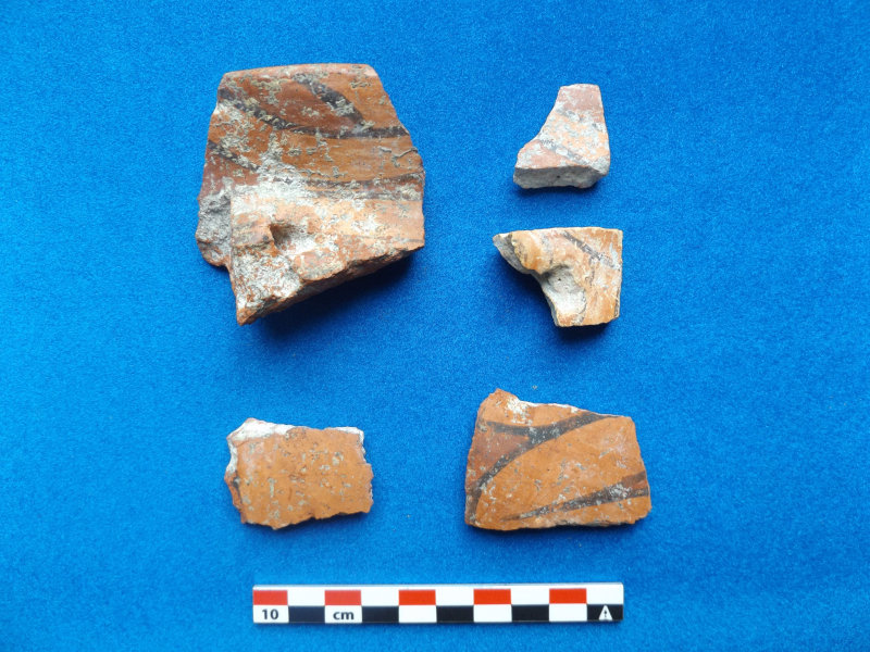
Only in a second step, from 5250-5100 y. BC, did the Neolithization process cover the vast areas of the Podillia and Volhynia, up to rivers of Southern Buh and Teterev. The Linear Pottery culture groups founded over 150 sites in the region till the date of 5100 BC.
The third wave of agricultural colonization is that of the Trypillia-Cucuteni people that took place during the fifth millennium BC when they reached and crossed the Dnieper river and settled in the Central Ukrainian upland.
So, at least for two millennia the easternmost fringe of Neolithic world moved across through the plains of south of Eastern Europe, sometimes stopping for several centuries without obvious geographic barriers (mountains, seas, major rivers etc.). Why did they stop? This project is aimed to answer this question.
Recently the important methodological achievements were reached in the modelling of early agricultural spread on the pan-European scale. Several innovative approaches were employed: evolutionary, punctuated equilibria model, agent-based modelling etc.
However, the empirical basis for these novel models usually omits the data on early farmers in the Eastern Europe and vice versa, the archaeological record of the Eastern Europe remains virgin for the interpretation by the means of innovative formal (including fuzzy logics and agent-based modelling) tools.
As such it is usually explained by non-formal models sometimes deeply rooted in the local nationalistic or autochtonists narratives. The modern up-to-date methodological study on the Neolithic of south of the Eastern Europe is required in order to include it in a general European picture of the early agricultural societies establishment throughout the continent.
I hope that this project will fill this gap, by an application of the unified innovative approach to the archaeological record of the region in question.
Research
The overall objective of the project is to clarify the character and mechanisms of the early agricultural spread in the Europe during VI-V mill. BC. There are five specific research questions to answer in order to reach the aim:
- Where were the sites located actually? I hope to answer this question by compilation of GIS-aided database with coordinates and short characteristics of
- What were the climatic conditions during the early farming colonization? We would try to answer meet this issue by a correlation of archaeological record and paleoclimatic proxies
- What were the soils exploited by the early farmers? The mapping of early farmers' sites versus soil types is the best way to answer this question
- What was the social environment of the early farming groups? The important issues of long-distance exchange and social interaction (as reflected in common style artefacts, usually varieties of decorated pottery) can be met by the network analysis
- How a behavior of certain farming groups (agents) resulted in the spatial patterns we observe? The data gathered in the analyses described above will be incorporated into agent-based model. The agent-based model is a calculative approach to explain complex systems. The former refers to systems having a behaviour on "macro-level" defined by actions of many independent agents on "micro-level". I will try to build a model predicting the selection of a new patch of land for a Neolithic settlement. It will combine multiple criteria for site selection using fuzzy sets approach
Methodology
Any definition of a suitable for colonization micro-region is inherently imprecise due to the difficulty of integrating of social and environmental factors.
Adoption of fuzzy sets concept of suitability for colonisation will help us to meet the demands for drawing decisions from a set of heterogeneous pre-conditions. In fact, any patch of land can be “suitable” for a given use.
However, uses differ – the suitable piece of arable land is not a substitution for a sandy field near flint outcrop. Threshold values are defined to derive the fuzzy rules for selecting a suitable location and various combinations of rules offer a greater flexibility in modelling the actual behaviour of agents during ABM-simulations.
The model "Fuzzy farmers" will be realized in NetLogo software.
News
- The article on the easternmost ever excavated Linear Pottery culture site was published in a journal “Digital applications in archaeology and cultural heritage” and can be accessed via ARCA repository: http://hdl.handle.net/10278/3740113
- The article was published on the archaeological traces of 8200 calBP paleoclimatic event in Ukraine: http://hdl.handle.net/10278/3739878
- Dmytro Kiosak jointly with Zhanna Matviisyna presented a poster "The soils of the early farmers in the middle Southern Buh valley" on "XXXVI LUBELSKA KONFERENCJA pt., Badania archeologiczne w Polsce środkowowschodniej, zachodniej Białorusi i Ukrainie” 26–27 May 2021, https://www.academia.edu/49291409/The_soils_of_the_early_farmers_in_the_middle_Southern_Buh_valley